WEST BENGAL MAPS
Elevation
Measure
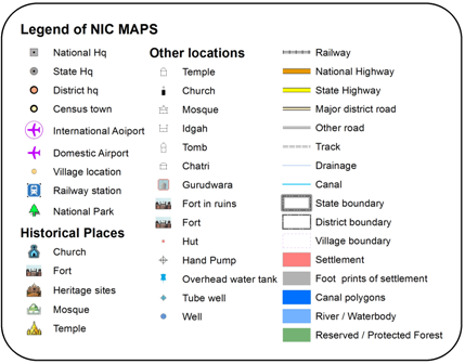
Legend
Full Extent
Clear
Map Details
Table of Contents
Area of Interest
Administrative Boundary
PC / AC Boundary
District
SELECT DISTRICT
Tehsil
SELECT SUB DISTRICT
Geocode Locator
CSV File Viewer
Theme for Polygons
Add Points
Select .CSV File from Below :
Theme Parameter
SELECT THEME PARAMETER
Classify Type
SELECT TYPE
Divide Into Class
Unique Values
NO of Class (MAX 10)
2
3
4
5
6
7
8
9
10
View Range
Note: The .CSV file must store the location in fields such as: lat for latitude and long for longitude.
Apply Theme
Clear Theme
Swipe Tool
Select Layer to Swipe
Swipe
Clear
Bookmark
BaseMaps
Measurement Tool
Elevation Profile